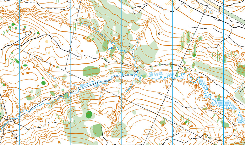
TOPOGRAPHIC MAPS - DETAILED PLANNING
A topographic map is a document that reflects precise data about a territory, including elevations, contours, rivers, roads, and other elements. Our team uses drone data and GIS technologies to create detailed and accurate maps.
WHY DO YOU NEED A TOPOGRAPHIC MAP?
- Planning construction projects.
- Infrastructure development.
- Agricultural planning.
- Updating cadastral data.
OUR PROCESS:
- Aerial photography of the territory.
- Data analysis and georeferencing.
- Creation of a topographic map using CAD or GIS software.
- Document export (PDF, DWG, or other formats).
Services
CONTACT US