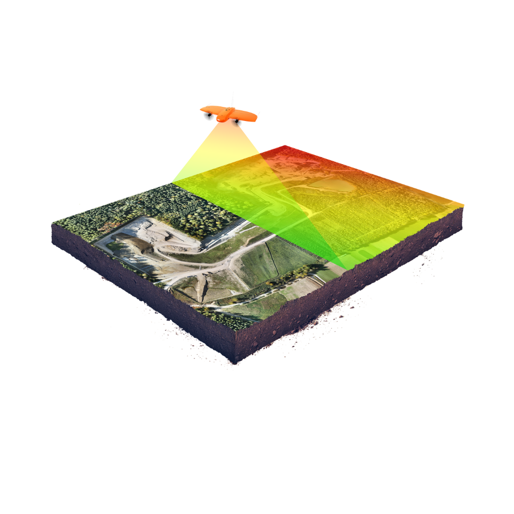
RELIEF BUILDING - TERRAIN ANALYSIS
Relief building is a process that allows you to determine the elevations and forms of a territory. Our team uses data from the Phantom 4 RTK drone and specialized software to create accurate and detailed relief models.
WHY DO YOU NEED RELIEF BUILDING?
- Analysis of terrain elevations.
- Planning construction projects.
- Making engineering decisions.
- Identifying suitable areas for agriculture.
OUR PROCESS:
- Aerial photography of the territory.
- Data processing to create DSM/DTM models.
- Visualization of the relief in 3D format.
- Data export (PDF, CAD, or other formats).
Services
CONTACT US