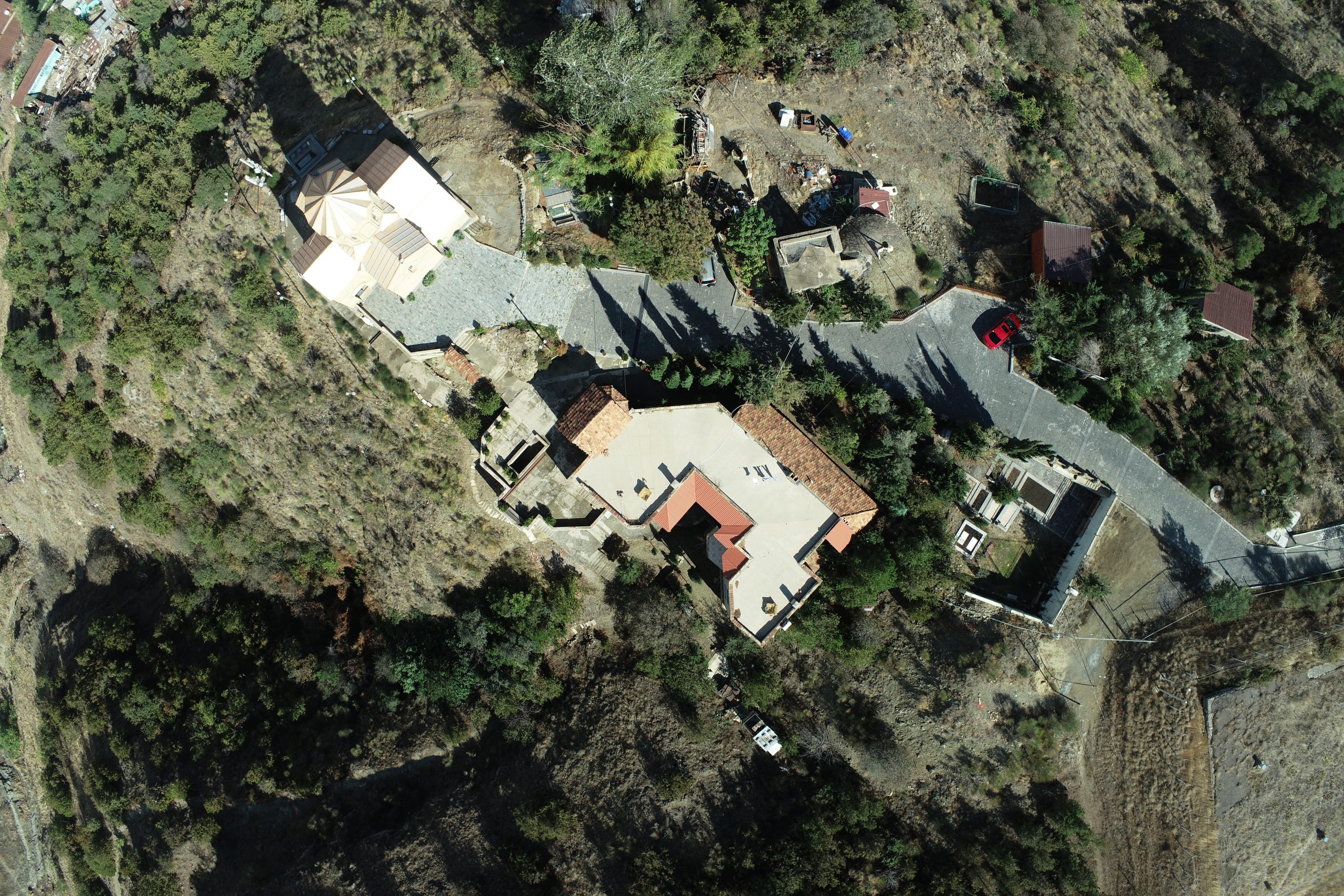
ACCURATE ORTHOPHOTOS
An orthophoto is a photograph taken via aerial photography that has been georeferenced and reflects precise visual data of a territory. Our team provides top-quality orthophotos that can be used in construction projects, agriculture, cadastral work, and other fields.
WHY DO YOU NEED AN ORTHOPHOTO?
- Accurate data for analyzing a territory.
- Planning construction projects.
- Updating cadastral data.
- Monitoring territories and development plans.
OUR PROCESS:
- Aerial photography of the territory using the Phantom 4 RTK drone.
- Processing photos with specialized software.
- Georeferencing and assigning precise coordinates.
- File export (JPEG, GeoTIFF, or other formats).
Services
CONTACT US