Remote Sensing
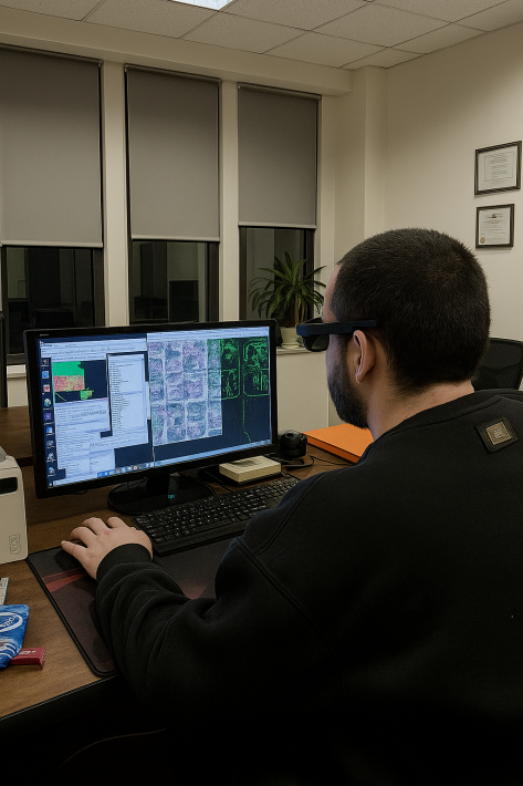
Remote sensing is a technology that enables the collection of data from a distance, without direct contact. Our team uses drones, satellite data, and GIS technologies to create accurate analyses.
WHY DO YOU NEED REMOTE SENSING?
- Analysis of territories from a distance.
- Efficient resource management.
- Infrastructure development.
- Agricultural monitoring.
OUR PROCESS:
- Aerial photography of the territory or collection of satellite data.
- Data analysis using GIS software.
- Visualization and report generation.
- Data export (PDF, GeoTIFF, or other formats).
Services
CONTACT US