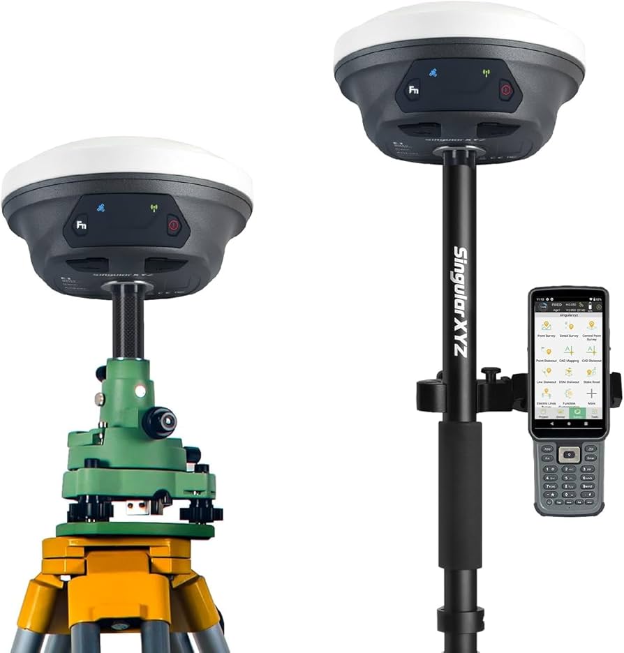
Georeferencing
Geodetic works involve transferring the geometric dimensions and markers of a designed construction project to the field. This includes the layout, distribution, and placement of a project's master plan, design, or markers. Surveying can include: cross-sectional surveys, road alignments, vertical profiles, curve layouts, structure positioning, route planning, network mapping, building outlines, line delineations, horizontal alignments, and more.
Services
CONTACT US
