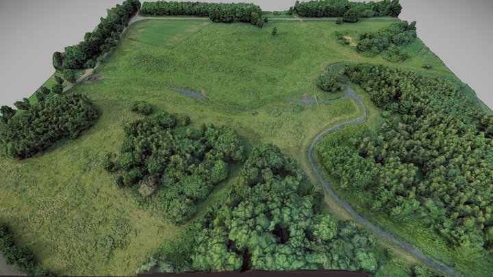
3D MODELING - VISUALIZATION OF TERRITORIES
3D modeling is a process that allows you to determine the forms, elevations, and other parameters of a territory or object. Our team uses drone data and specialized software to create detailed 3D models.
WHY DO YOU NEED 3D MODELING?
- Visualization of the territory.
- Presentation of construction projects.
- Infrastructure development plans.
- Agricultural analysis.
OUR PROCESS:
- Aerial photography of the territory.
- Data processing to create a 3D model.
- Visualization and animation (optional).
- File export (OBJ, STL, FBX, or other formats).
Services
CONTACT US