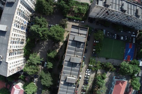
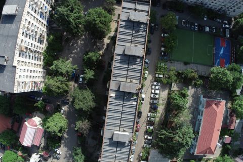
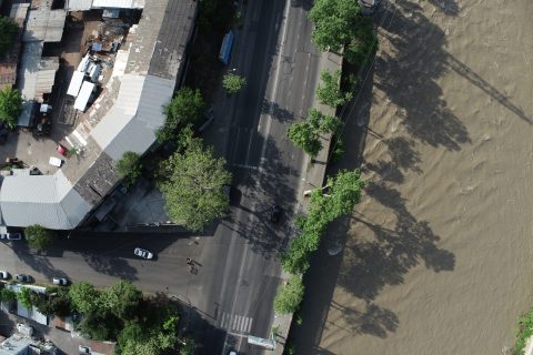
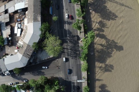
Aerial Photography with Phantom 4 RTK Drone
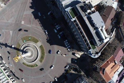
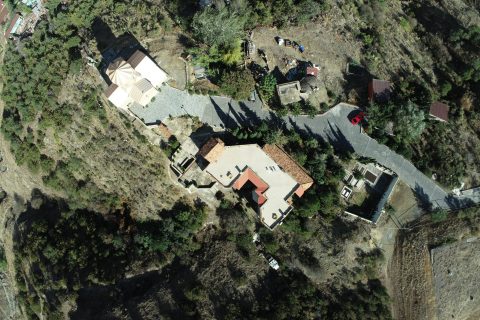
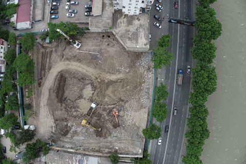
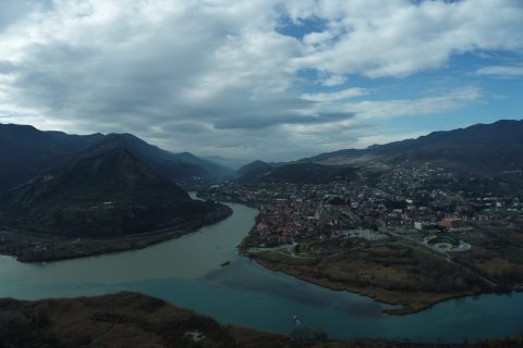
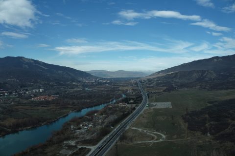
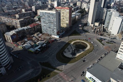
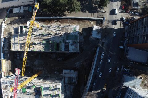
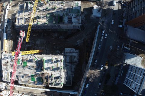
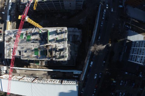
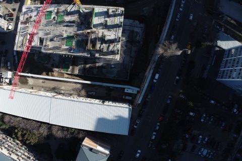
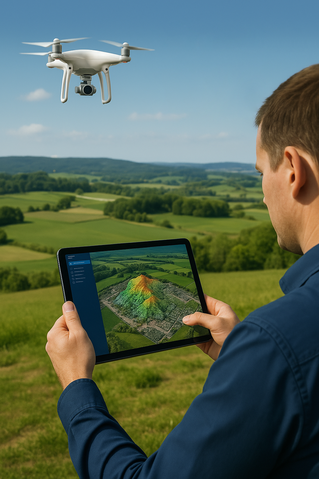
GlobalMap offers a full spectrum of spatial data collection and processing using the modern Phantom 4 RTK drone. We specialize in creating high-precision orthophotos, building digital elevation models, developing detailed topographic maps, creating realistic 3D models, accurately calculating volumes, precisely monitoring territories, and providing remote sensing services. Our experienced team and advanced technologies ensure the efficient and accurate execution of your projects across the entire territory of Georgia.
599 13 77 25
About Us
Aerial Photography and Spatial Analysis Across All Regions of Georgia
GlobalMap is a modern technology-oriented company that offers aerial photography and geospatial analysis services using Phantom 4 RTK drones. Our mission is to provide professional and reliable data for your business, whether it’s for construction, geology, agriculture, or other industries.
- 🚁 Aerial Photography
- 📐 Topographic Maps
- 🌍 3D Relief Modeling
- 📊 Volume Analysis
- 🛰️ Remote Sensing
- 🌏 Geology
Call
Services
Diverse Capabilities
Terrain Analysis and Visualization
Topographic and Construction Plans
Monitoring and Surveillance
Infrastructure Services
